Where mountains meet salt water
The fjords of the Arctic north differ profoundly from those in Western Norway. Rather than green, orchard-lined ravines, these are austere marine corridors where ancient granite plunges directly into Atlantic swell, tempered by the Gulf Stream and bounded by Arctic tundra.
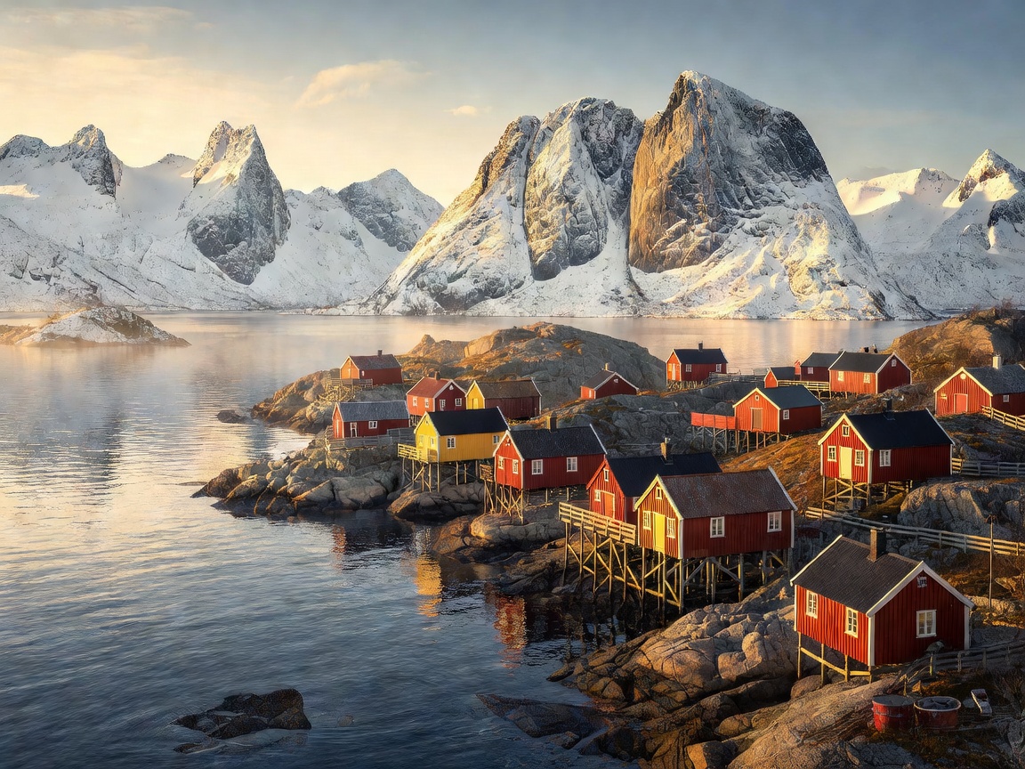 Reinefjorden
Reinefjorden & Moskenesøya
Located near the southwestern tip of the Lofoten archipelago, Reinefjorden is enclosed by granite towers that rise vertically from sea level to over 800 meters. The mouth of the fjord connects directly to the infamous Moskenstraumen, one of the strongest tidal whirlpool currents on earth. Historic fishing stations (rorbuer) in Reine, Hamnøy, and Sakrisøy still operate primarily around the seasonal skrei (migratory cod) fisheries from January through April.
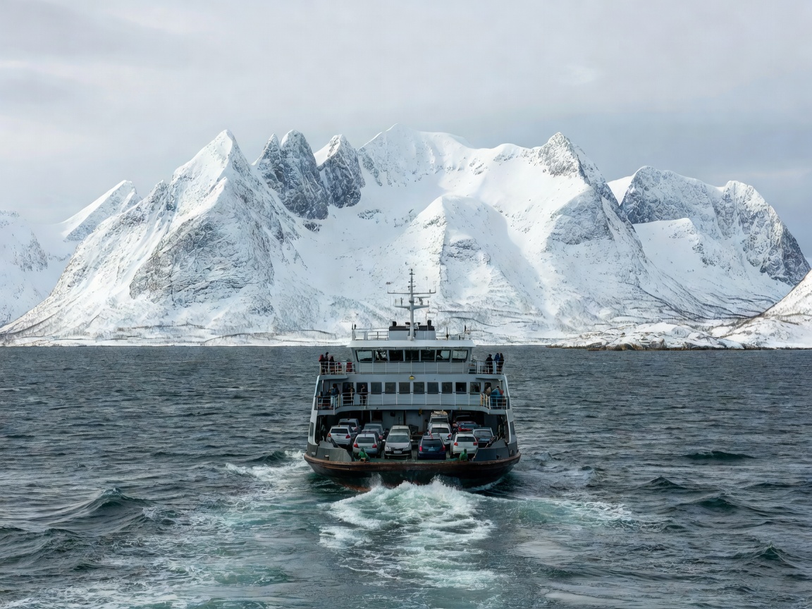 Lyngenfjorden
Lyngenfjorden & The Lyngen Peninsula
Stretching 82 kilometers south from the Arctic Ocean, Lyngenfjorden separates the rugged Lyngen Alps from the gentler hills of eastern Troms. It functions as both a marine highway and a climatic barrier. Backcountry skiers from around the world flock to summits like Jiehkkevárri (1,834 m), where slopes drop from glaciated crags right down to the water’s edge. Car ferries linking Svensby and Breivikeidet offer swift connections across the sound without long road detours around the fjord head.
| Fjord Name | County | Length | Geographic Character | Primary Access Road |
|---|---|---|---|---|
| Reinefjorden | Nordland | 3 km | Pre-Cambrian granite cirque, narrow tidal mouth | E10 Highway |
| Lyngenfjorden | Troms | 82 km | Glaciated alpine walls, pronounced inland rain shadow | E6 / Fv91 Ferry |
| Altafjorden | Finnmark | 38 km | Pine-wooded shoreline, UNESCO petroglyph sites | E6 / E45 Junction |
| Porsangerfjorden | Finnmark | 123 km | Vast sub-Arctic bay, dolomite rock stacks at Trollholmsund | E6 / E69 to North Cape |
| Tysfjorden | Nordland | 62 km | Deep granite fjord, Lule Sámi cultural heartland | E6 (Bognes–Skarberget) |
The Dynamics of Northern Tides and Ferries
Driving through Northern Norway requires coordinating with the ferry schedules managed by Torghatten Nord and Fjord1. Many routes run every 30 to 60 minutes during summer daylight hours, but frequency drops significantly during winter storms. Unlike traditional bridges, fjord ferries provide essential rest breaks for drivers navigating demanding single-lane roads with passing places (møteplasser).
When tides change in narrow fjord channels like Saltstraumen south of Bodø, upwards of 400 million cubic meters of seawater surge through a 150-meter-wide strait every six hours, creating whirlpools up to 10 meters across. Respecting the hydrographic power of these waters is paramount for anyone planning sea kayaking, coastal fishing, or ferry journeys.